24.06 ’25
Where is the Dutch Border?
🕐 Tuesday 24 June 2025, 2—5 pm
📍 Framer Framed, Amsterdam (NL)
🙏🏻 Henk van Houtum
🔗 framerframed.nl
The standard ‘design’ of the Dutch borderline is often seen as a self-evident representation. Yet this abstract form in no way reflects the geographical, social, and political reality. How can we rethink and redesign the representation of the multiplicity of Dutch borders, based on personal experiences and broader geopolitical reflections? On 24 June, Framer Framed hosts a mapping workshop by designer and researcher Annelys de Vet and Professor of Geopolitics and Political Geography Henk van Houtum.
While the official border of the Netherlands is often perceived as a neutral, natural design—a fixed line enclosing a seemingly homogeneous territory—this abstraction conceals more than it reveals. It hides the many ways in which people are included, excluded, or rendered invisible. Political refugees, for example, experience borders on very different levels than normative maps suggest. And beyond its official boundaries, the Netherlands is geographically present through its embassies, trade interests, arms exports, as well as its presence in seas and waterways. How do individuals living at these geographic edges encounter the political construct of “the Netherlands”? What alternative graphic representations can we develop that do justice to the diversity and complexity of their experiences? How can we create cartographies that emerge from lived experience rather than from state-centric conventions?
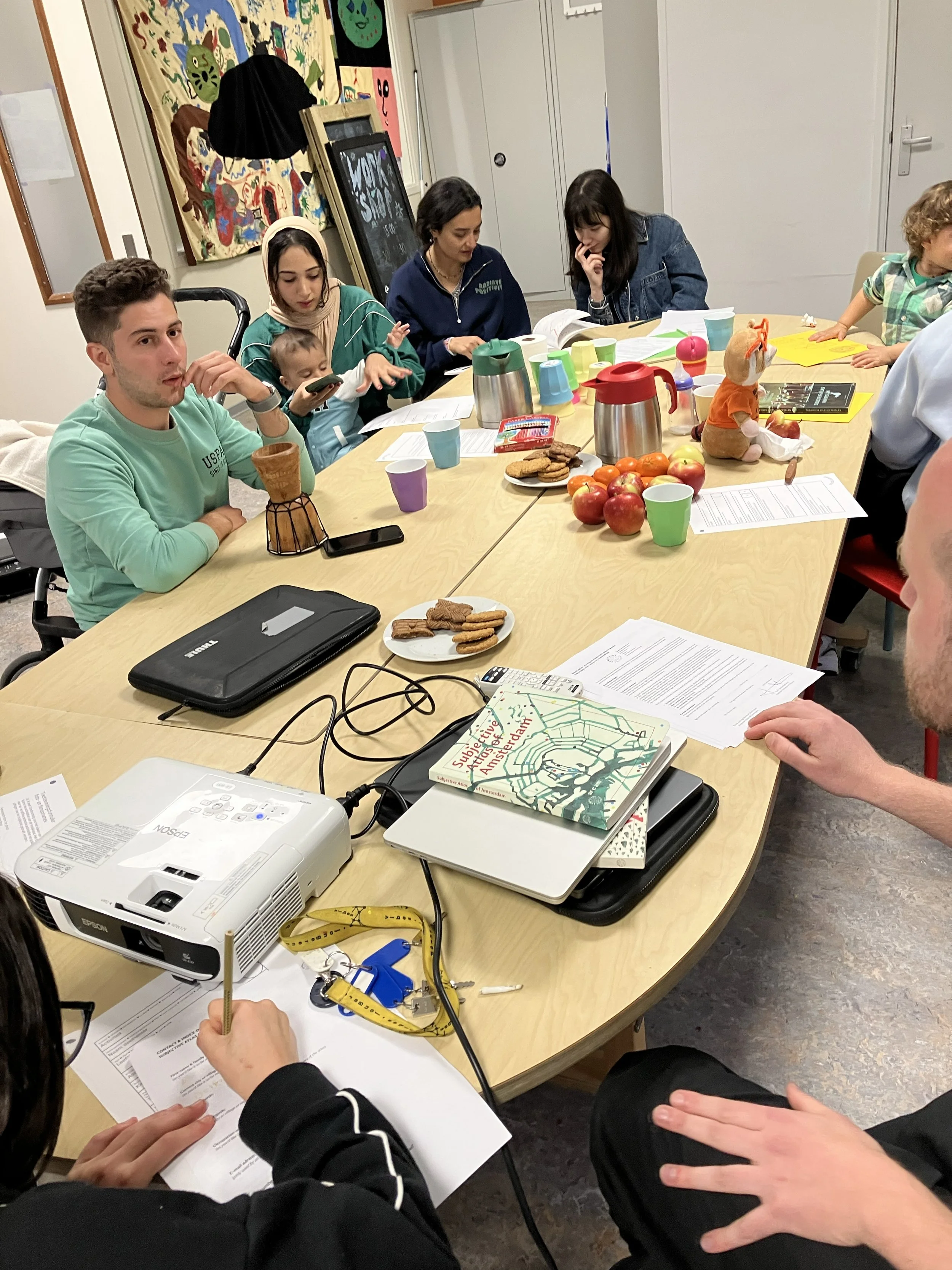
Through cartographic workshops, we aim to visually reflect on how the Netherlands is outlined in the world, and for whom the Dutch border is drawn where.The first workshop will take place at Framer Framed and brings together artists, cartographers, designers, and geographers — with and without papers, and a sharp eye for the art and power of geography to reflect on the lived reality of the Dutch borders. How can we visualise these (often invisible) boundaries?
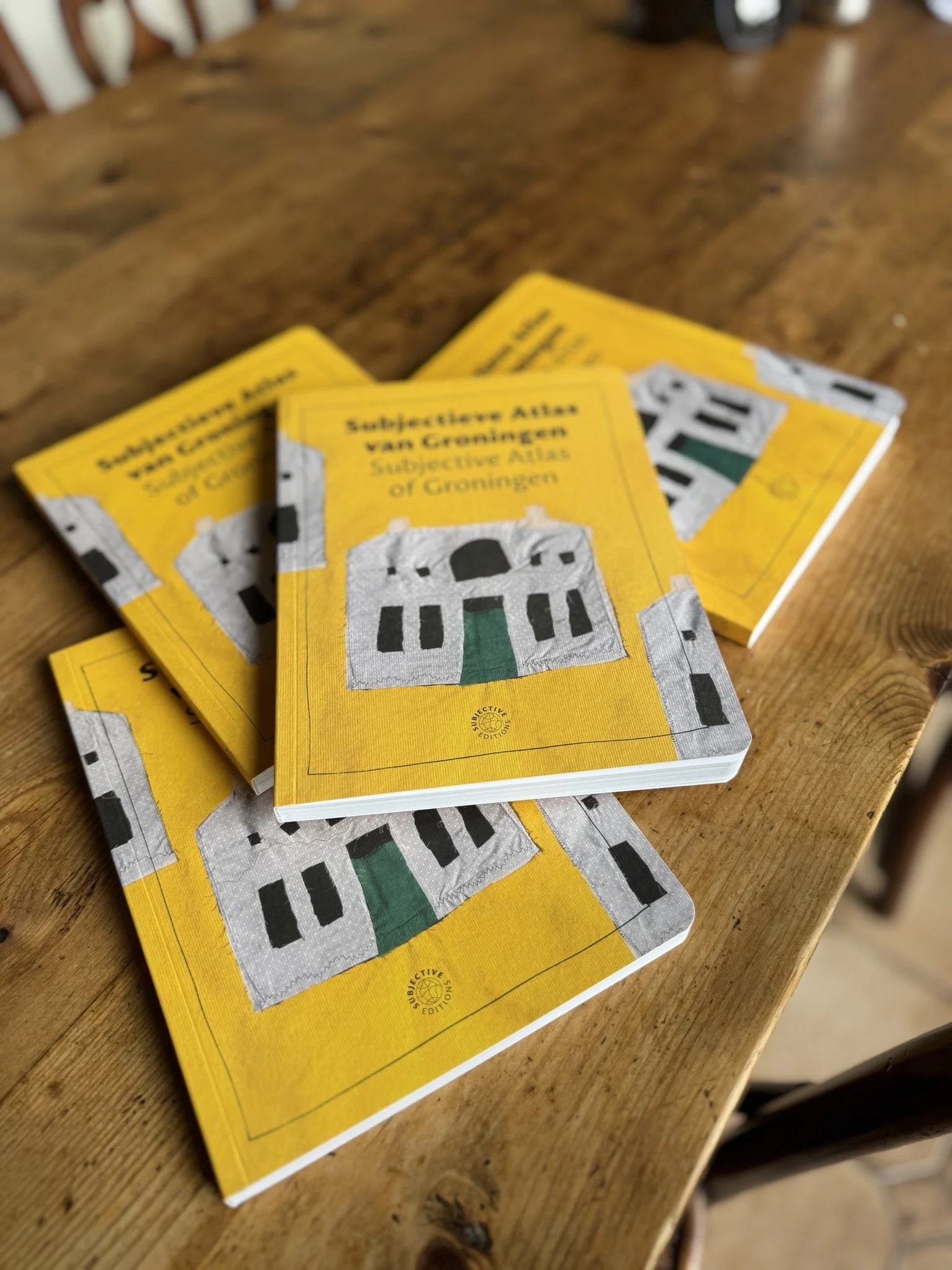
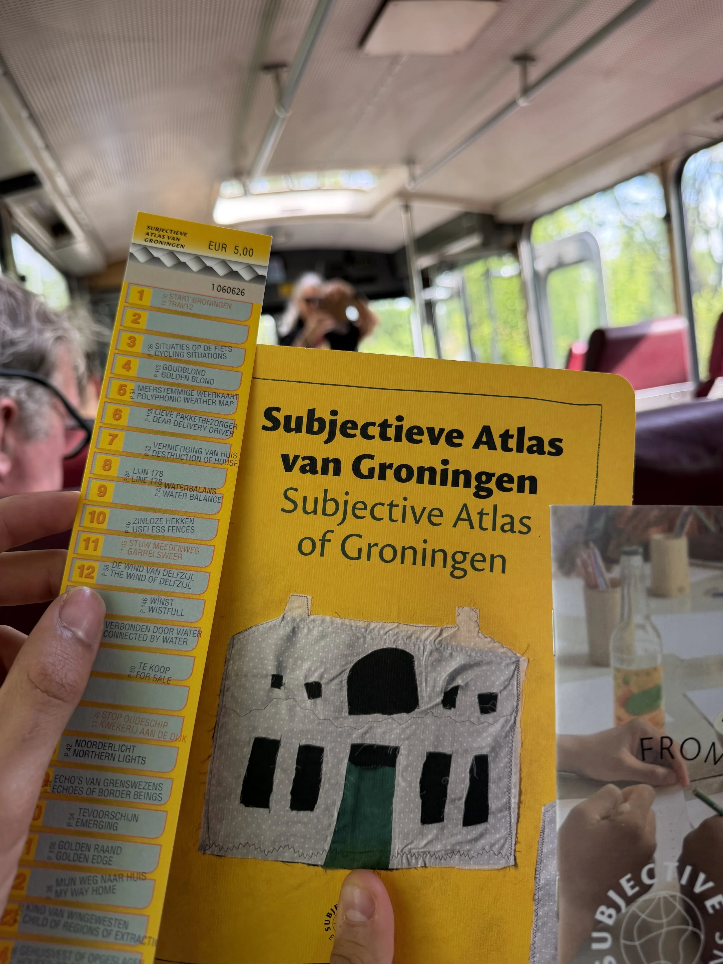
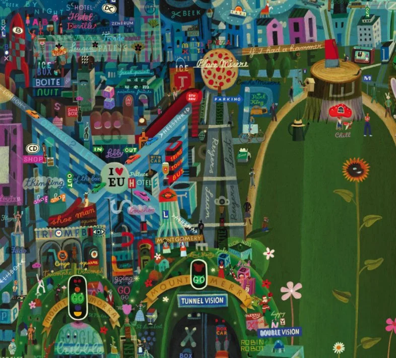
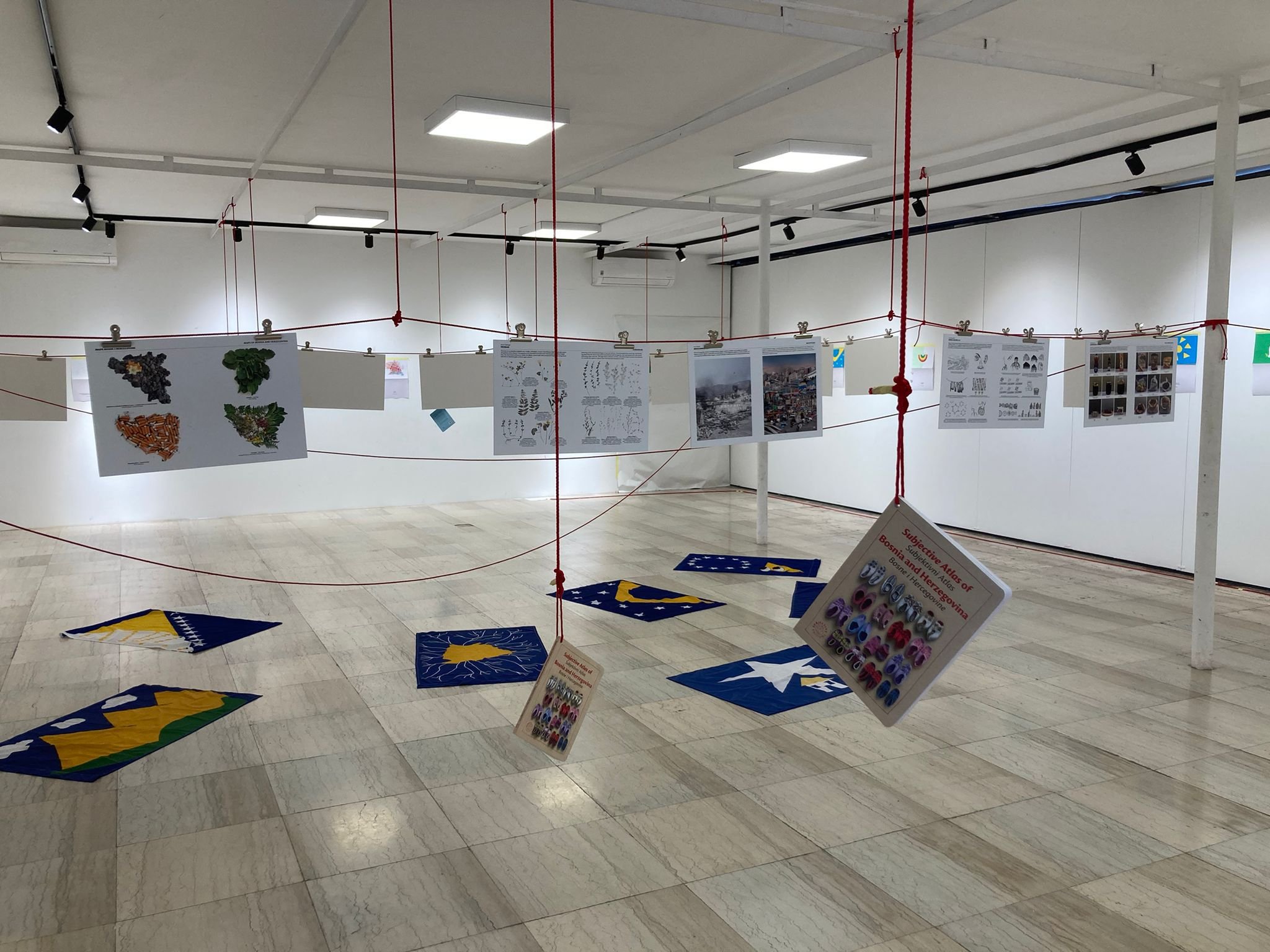
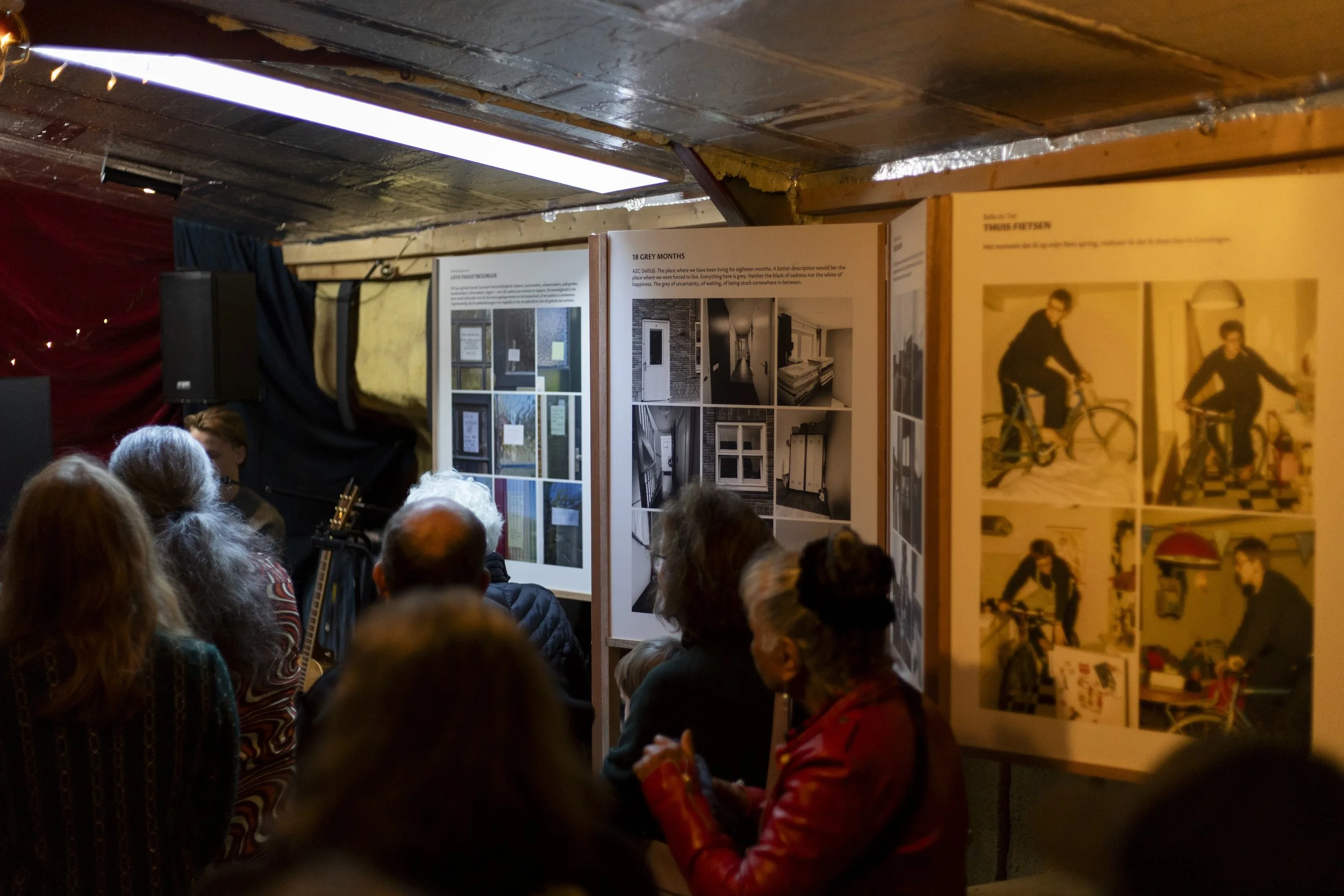
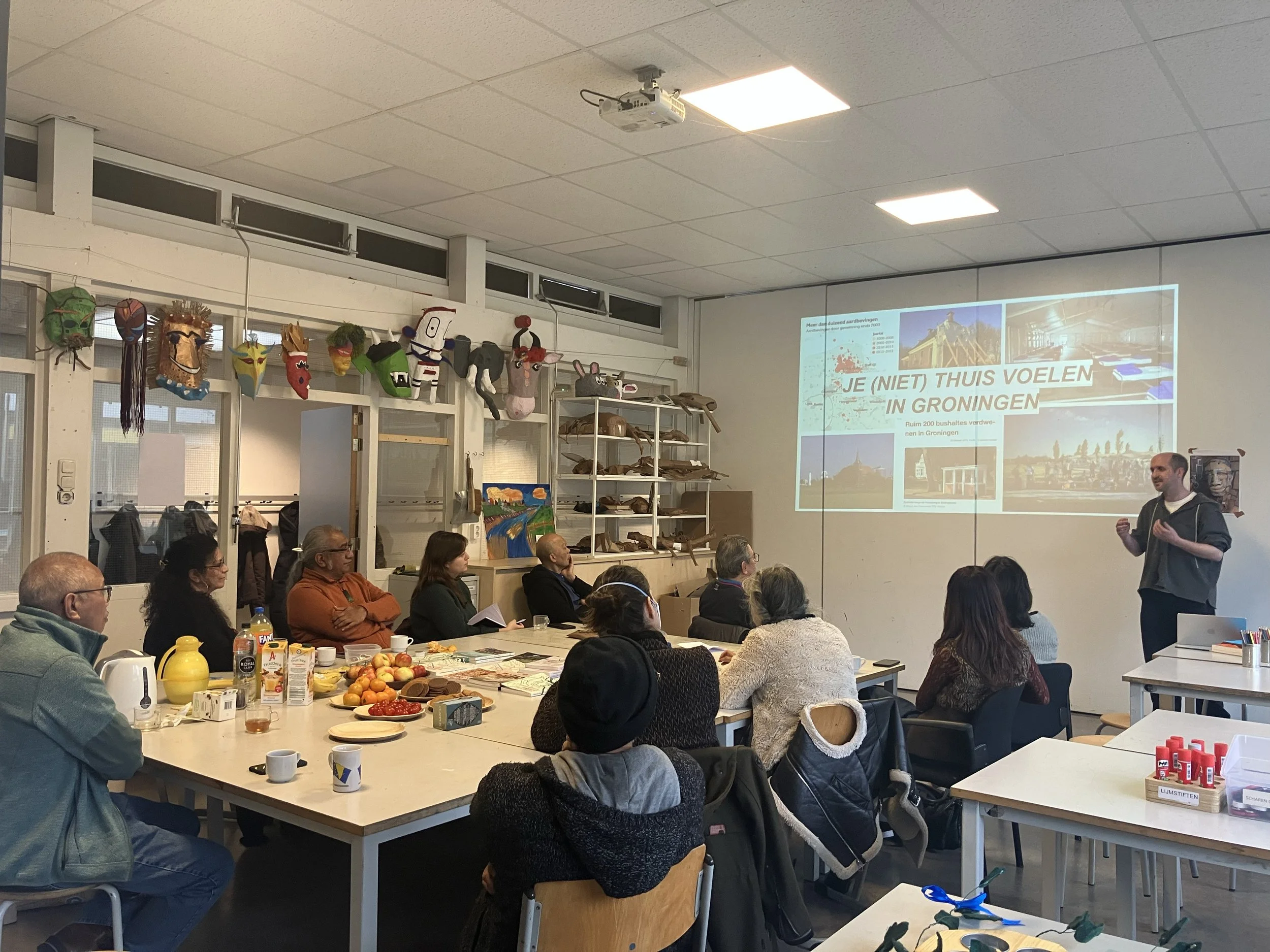
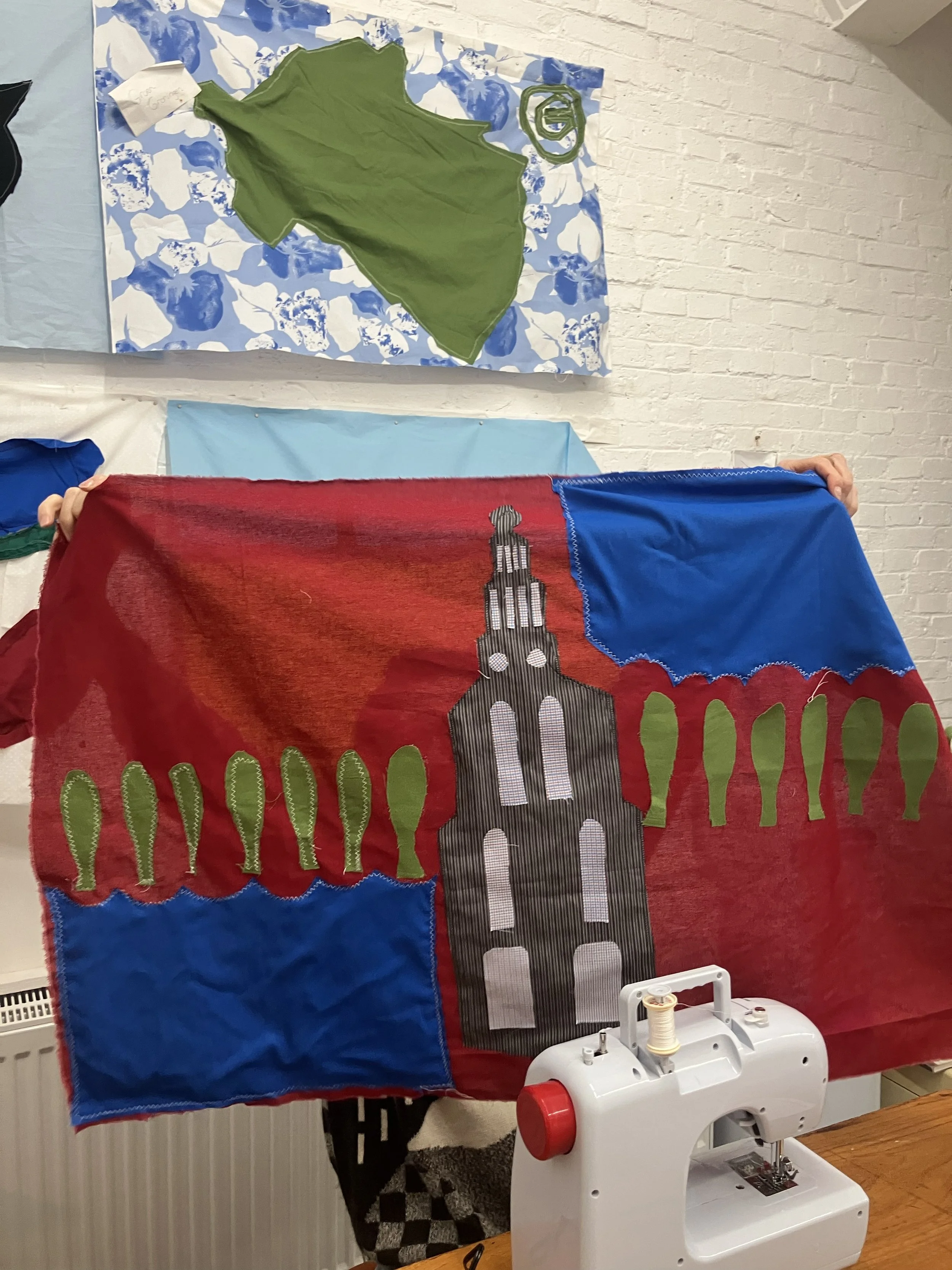
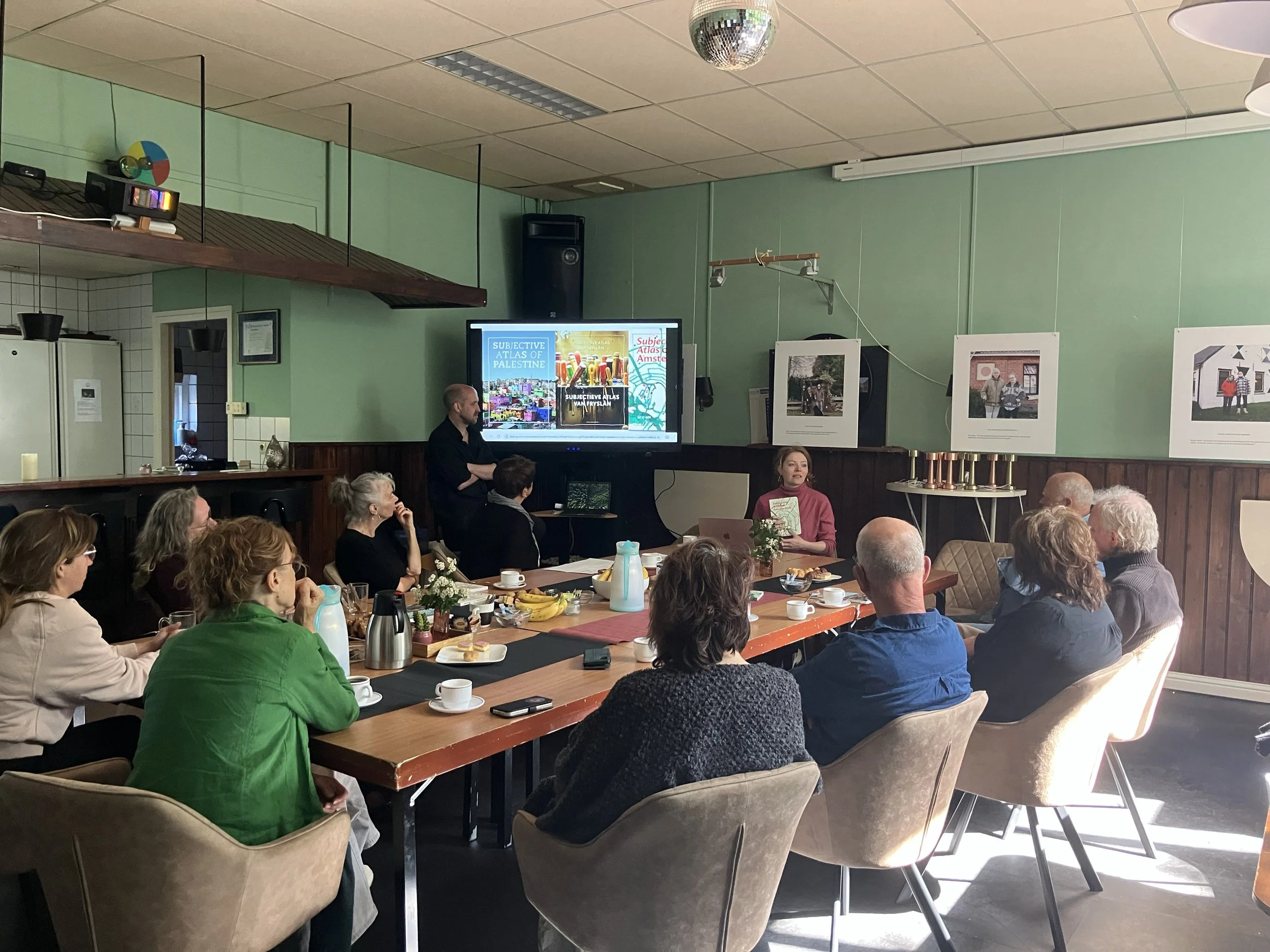
Participants will be guided in visualising their perspectives through drawing, writing, symbols, maps, and other visual tools. The methodology we follow is rooted in the practice of the Subjective Atlases, in which a region is mapped from the inside out through participatory design workshops. Instead of striving for so-called neutral and factual representations of a place, subjective cartography focuses on the personal experiences, perspectives, and emotions of people with a direct relationship to a location. Its multiple mappings reveal socio-political dynamics and emphasise stories and experiences that fall outside conventional policy documents. This type of map recognises that geography, as well as borders, are not only physical but socially, culturally, and emotionally shaped.
This Maplab is part of the participatory, design-oriented research project “Where is the Dutch border?”, which is led by Henk van Houtum, and is supported by the Stimuleringsfonds Creatieve Industrie. It forms part of a broader effort to Free the Map—the recent book of Henk van Houtum—to imagine new, more inclusive ways of visualising territory, migration, and borders.
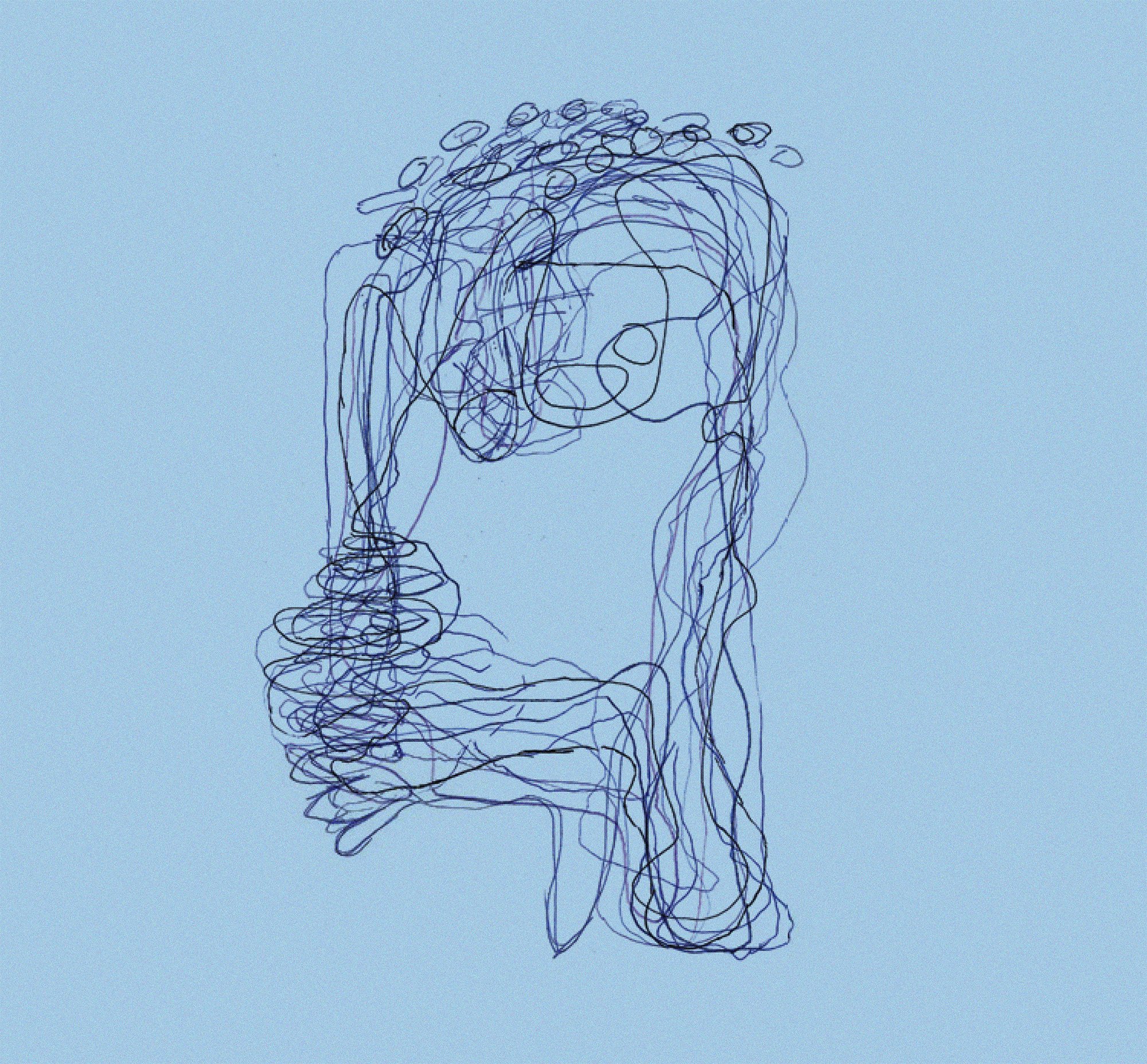
Impressions


Other events